
When the team finally gets a chance to start uphill, they will begin at the 7,200' Base Camp on the Southeast Fork of the Kahiltna Glacier. From this point, they will descend about 600' to the main body of the Kahiltna. It's all uphill from there!
Here is a map we just made of the West Buttress route. The Kahiltna Glacier basically runs along the entire bottom of the photo. Base Camp is well out of the picture to the lower right of the image.
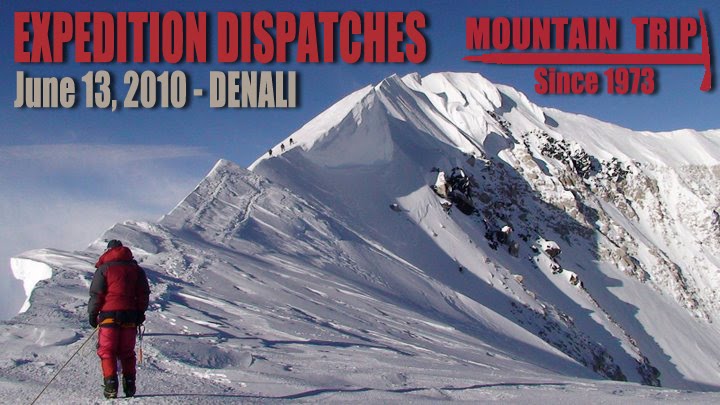
Click on the photo for a larger version.
Thanks to Paul Roderick from TAT for the use of his beautiful photo!
No comments:
Post a Comment